
Brief description
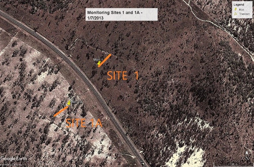
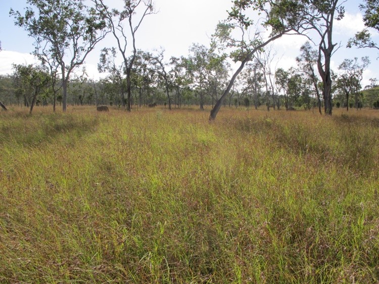
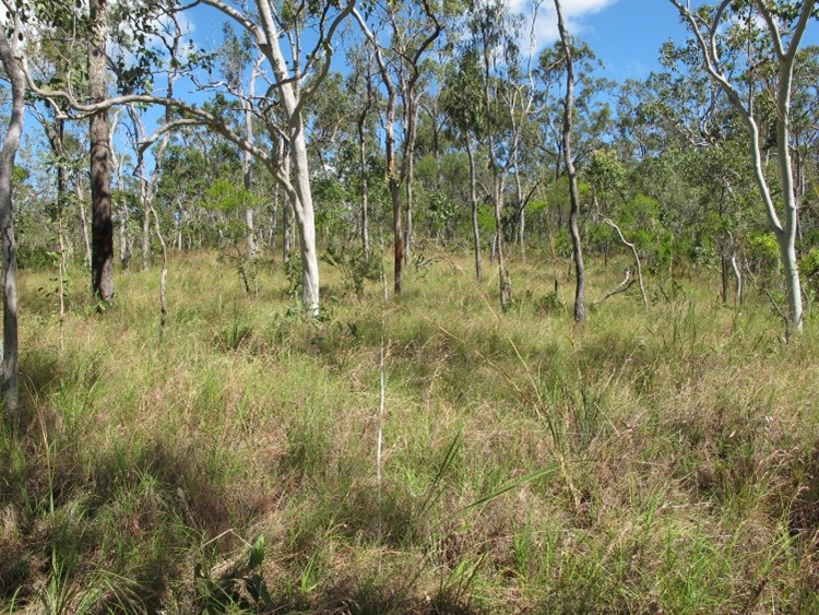
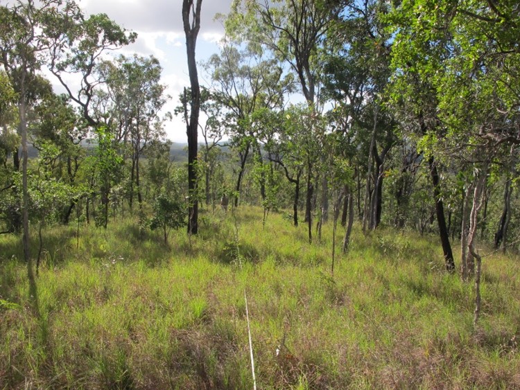
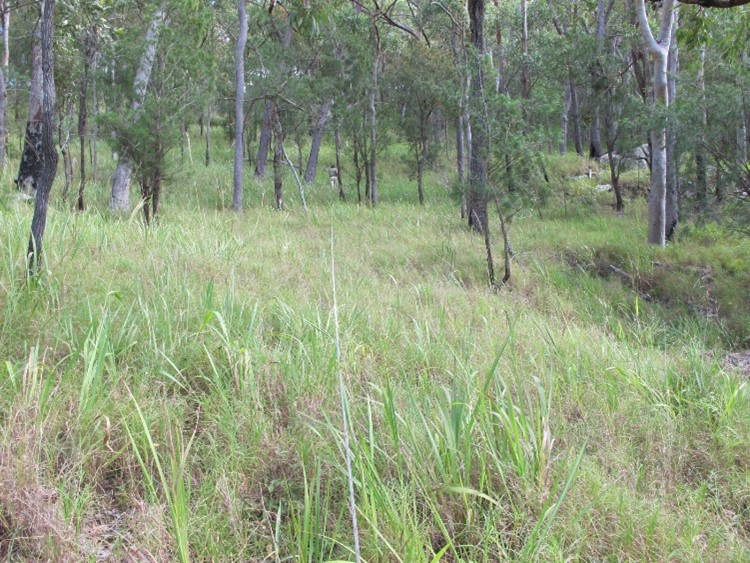
The dataset consists of species identity and projective foliage cover (PFC) of ground layer vascular plants from five sites located near Mareeba, in northern Queensland. The sites are located in eucalypt communities with altitudes ranging from 380 to 840 m. Data have been collected annually since 1992, in April and May, i.e. during the annual peak of plant species richness. At each site, data collection is carried out using ten 0.5 m2 quadrats deployed within a permanently marked 50 x 10 m plot. For each quadrat, all plant species visible above ground are identified and sampled. PFC data for each species from the ten quadrats are averaged. Any additional species occurring within the 50 x 10 m plot is also recorded and assigned a PFC of 0.1% (Neldner and Butler, 2021).Lineage
In the first three years of data collection (1992-1994) sampling was conducted at three monthly internvals. These data are recorded in Neldner, V. (2021): Seasonal changes in ground flora composition and cover in Queensland tropical woodlands. Version 1.0.0. Terrestrial Ecosystem Research Network (TERN). (Dataset). https://doi.org/10.25901/0jtn-qr55
Notes
CreditWe at TERN acknowledge the Traditional Owners and Custodians throughout Australia, New Zealand and all nations. We honour their profound connections to land, water, biodiversity and culture and pay our respects to their Elders past, present and emerging.
Queensland Herbarium provided the funding and equipment to conduct this research.
This study collects data to provide insights from long-term monitoring into the dynamics of savanna plant species composition, specifically on the ground layer. Key questions are: (1) How much variation is there from year to year in plant species abundance and composition? And (2) is there evidence of directional change in community composition?
Data Quality Assessment Scope
local :
dataset
All data are collected by V. J. Neldner and collaborators. Any unknown plant is collected and the specimen identified at the Queensland Herbarium. Most species are vouchered in the Queensland Herbarium. Plant nomenclature follows Brown and Bostock (2020).
Data Quality Assessment Result
local :
Quality Result
Most species were recorded to the species level. If a species could only be identified to genus level then it was recorded as genus species, e.g. <em>Fimbristylis sp.</em>
Created: 2021-12-15
Issued: 2022-03-07
Modified: 2024-05-12
Data time period: 1992-05-01
text: Five sites within 30 km of Mareeba, northern Queensland.
User Contributed Tags
Login to tag this record with meaningful keywords to make it easier to discover
- URI : geonetwork.tern.org.au/geonetwork/srv/eng/catalog.search#/metadata/73ef6908-1b4e-4a85-9d1c-c62689c38cd4

- global : 73ef6908-1b4e-4a85-9d1c-c62689c38cd4
