
Uncrewed Aerial Vehicle (UAV)
Return to Themed Collections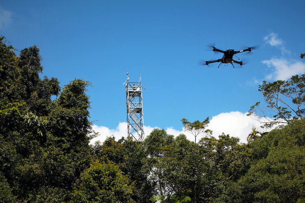
Image — Kim Calders / Tern
Uncrewed Aerial Vehicles (UAV)
The advent of the Uncrewed Aerial Vehicle* (UAV) has enabled new and enhanced methods of data capture, significantly advancing research and innovation. Universities, research intensive organisations, governments and private industry across Australia use UAVs (or drones) to gather vital data on everything from agricultural crop health, to geophysical surveys, to infrastructure management. UAVs bridge the gap in scale between ground-based observations and satellite observations. They are commonly used to collect visible, thermal, multispectral and hyperspectral imagery, photogrammetry, LiDAR, and geophysical data.
*Otherwise known as: Unmanned Aerial Vehicle
Featured Datasets
5ia
Data Providers
5ia
Related Services
2hd